
Table of Contents
A city doesn’t have to be buried under jungle to be lost. Sometimes it sits beneath a wheat field, a desert track, or a modern suburb whose streets follow boundaries nobody remembers. That is the promise of satellite technology for finding lost cities: not robots replacing archaeologists, but a view wide enough to catch patterns that make no sense from ground level.
The appeal is obvious. Many of the lost cities that disappeared from history were not swallowed by oceans; they were absorbed into later landscapes and then read as empty ground. Satellites give researchers a second look at those landscapes, often at scales and in wavelengths human eyes cannot use.
What satellites actually see from orbit
A satellite does not photograph a buried wall and label it. It measures reflected light, heat, texture and elevation. Archaeologists look for proxies: crop marks where shallow roots stall over stone, soil marks where moisture lingers in old ditches, and faint lines that continue for kilometres across farmland.
Multispectral sensors are especially useful. Near-infrared light can reveal differences in vegetation health caused by buried structures; thermal bands can pick up cooler or warmer ground over stone and compacted earth. At 10-metre resolution, Europe’s Sentinel-2 satellites are free and frequent enough for broad surveys. Commercial satellites such as WorldView-3 go sharper, to roughly 31 centimetres, but cost money and cover smaller strips.

Resolution matters, but so does repetition. A site that is invisible in July may appear in April when soil moisture and crop growth line up. Time-series imagery lets analysts compare seasons, not just snapshots.
Radar sees through haze, not magic
Synthetic aperture radar sends its own microwave pulses and records what bounces back. It works at night and through cloud, which makes it valuable in tropical belts and monsoon regions where optical images are often useless. Radar is not X-ray vision. It does not reveal a city under ten metres of sand. It does respond to surface roughness, moisture and subtle topography, and those signals can expose ancient canals, levees and building platforms.
In the 1980s, radar images from the Space Shuttle revealed buried river channels beneath the Sahara, hinting at routes and settlements far from today’s Nile. Modern Sentinel-1 data is coarser than commercial optical imagery but free and regular, ideal for scanning large areas for changes. Analysts use interferometry to detect millimetre-scale ground movement, which can flag collapsing tombs or subsiding archaeological mounds before they disappear.
The spy satellites that became time machines
Some of the best archaeological satellites were launched for military reasons. The US CORONA and Hexagon programmes photographed vast swathes of Earth from the 1960s onward. Those images were declassified decades later, and they now offer a pre-development baseline. A road, canal or mound that was clear in 1967 may sit under an airport or housing estate today.
In Iraqi Kurdistan, researchers spotted a possible ancient city, Qalat Darband, in declassified CORONA imagery. Ground survey later found walls, coins and evidence of occupation. The site had been walked over for years without being recognised. The satellite image did not do the archaeology; it told people where to look.
The same trick works in reverse. Analysts compare 1960s frames with current satellite images to map urban sprawl, looting pits, and sites at risk. That is less glamorous than discovering a temple, but it is often more urgent. It is a practical extension of the work that has brought forgotten metropolises back onto maps.
How a satellite lead becomes a dig
A bright anomaly on a satellite image is not a discovery. It is a question. The path from pixel to trench usually looks like this:
From shortlist to trench
- Archive sweep. Compare free optical, radar and declassified imagery across seasons and decades.
- Pattern check. Look for straight lines, right angles, repeated mounds, canals that follow contours, or vegetation stripes that align with known site plans.
- Local knowledge. Ask farmers, surveyors and residents what they have ploughed up or seen after rain.
- Airborne follow-up. Fly a drone with LiDAR or a high-resolution camera over the target. LiDAR is the heavyweight here; it can strip away forest canopy and show walls, roads and terraces beneath.
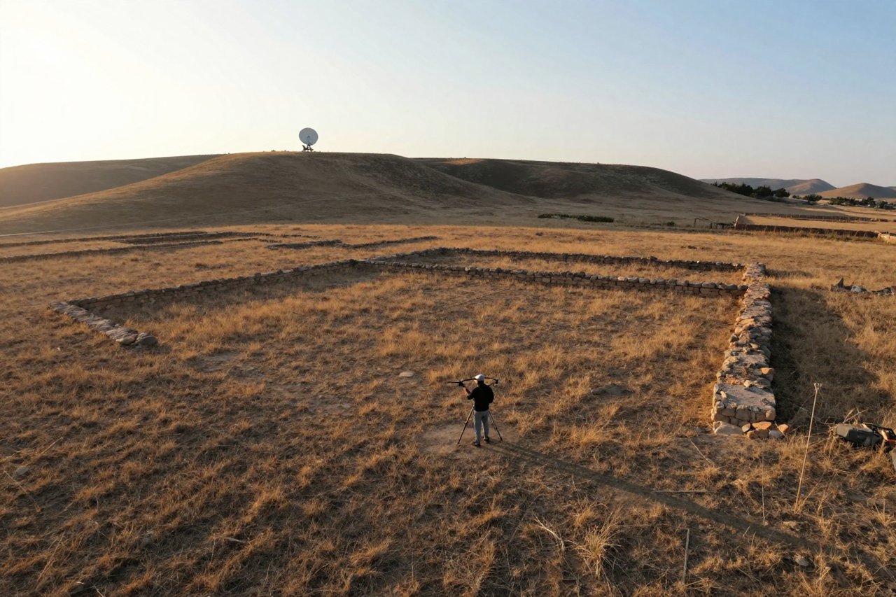
- Ground truth. Walk the site, record surface finds, and only then excavate if the evidence and permits justify it.
That sequence matters. Satellite technology for finding lost cities is best at narrowing the search, not at replacing the muddy, slow work of field survey. LiDAR has revealed entire urban grids under jungle at Angkor in Cambodia and Caracol in Belize, but those results came from aircraft flying low and slow, not from a single satellite pass. Satellite imagery told teams where the LiDAR would be worth the fuel. It is part of the broader shift in how lasers, drones and drought are rewriting the human story.
The uncomfortable side of finding cities from orbit
Publishing coordinates can be dangerous. Looting gangs use online maps and satellite images too. A newly announced site can be gouged with pits within months. Responsible projects often delay precise locations, work with local heritage authorities, and train site guards before the press release goes out.
There is also a false-positive problem. A machine-learning model trained to spot ancient walls may flag modern field boundaries, geological fractures or abandoned pipelines. Algorithms are useful for sorting thousands of square kilometres into a shortlist; they are poor at judging context. An archaeologist still has to ask whether a line makes sense as a wall, a road, a canal or a plough mark.
Satellites can help here as well. Repeated imagery tracks looting pits, encroachment and flood damage. Some teams use radar change detection to monitor remote sites through monsoon seasons when no one can visit. The technology becomes a conservation tool, not just a treasure hunt.
What the next decade looks like
The data is getting cheaper and more frequent. Sentinel-2 revisits much of the planet every five days; Planet’s small satellites image the whole land surface daily at three to five metres; commercial tasking can zoom in on a suspicious field within hours. Hyperspectral sensors, which split light into hundreds of narrow bands, may distinguish specific stone types, plaster or crop stress in ways current instruments cannot.
Artificial intelligence will keep improving at the tedious part: scanning terabytes for shapes that resemble known sites. It will not remove the need for local archaeologists, permits, or excavation. The most interesting discoveries may come from combining datasets that were never designed to talk to each other: 1960s spy photographs, modern radar, soil maps, old land records and oral histories.
That is the real promise. Satellite technology for finding lost cities gives researchers a way to see landscapes as systems: roads feeding a capital, canals watering fields, suburbs spreading beyond walls. A single temple is a find. A whole settlement pattern is a story. The satellites help find the edges of that story, and the people on the ground fill in the rest.


