
Table of Contents
In 1963, a joint Turkish and American team surveyed a hilltop in southeastern Turkey called Göbekli Tepe. They recorded broken slabs of limestone, guessed they belonged to a Byzantine cemetery, and moved on. Thirty years later, Klaus Schmidt stood on the same hill and saw what nobody had: T-shaped pillars carved with foxes and cranes, raised around 9,000 BCE. It is now one of the most important prehistoric monuments on Earth.
Discoveries rarely arrive as a single heroic moment. They come from someone noticing something small and refusing to shrug it off. Here is how ancient sites actually get found, from a muddy pair of boots to a laser bouncing off a rainforest canopy.
It usually starts with the ground under your boots
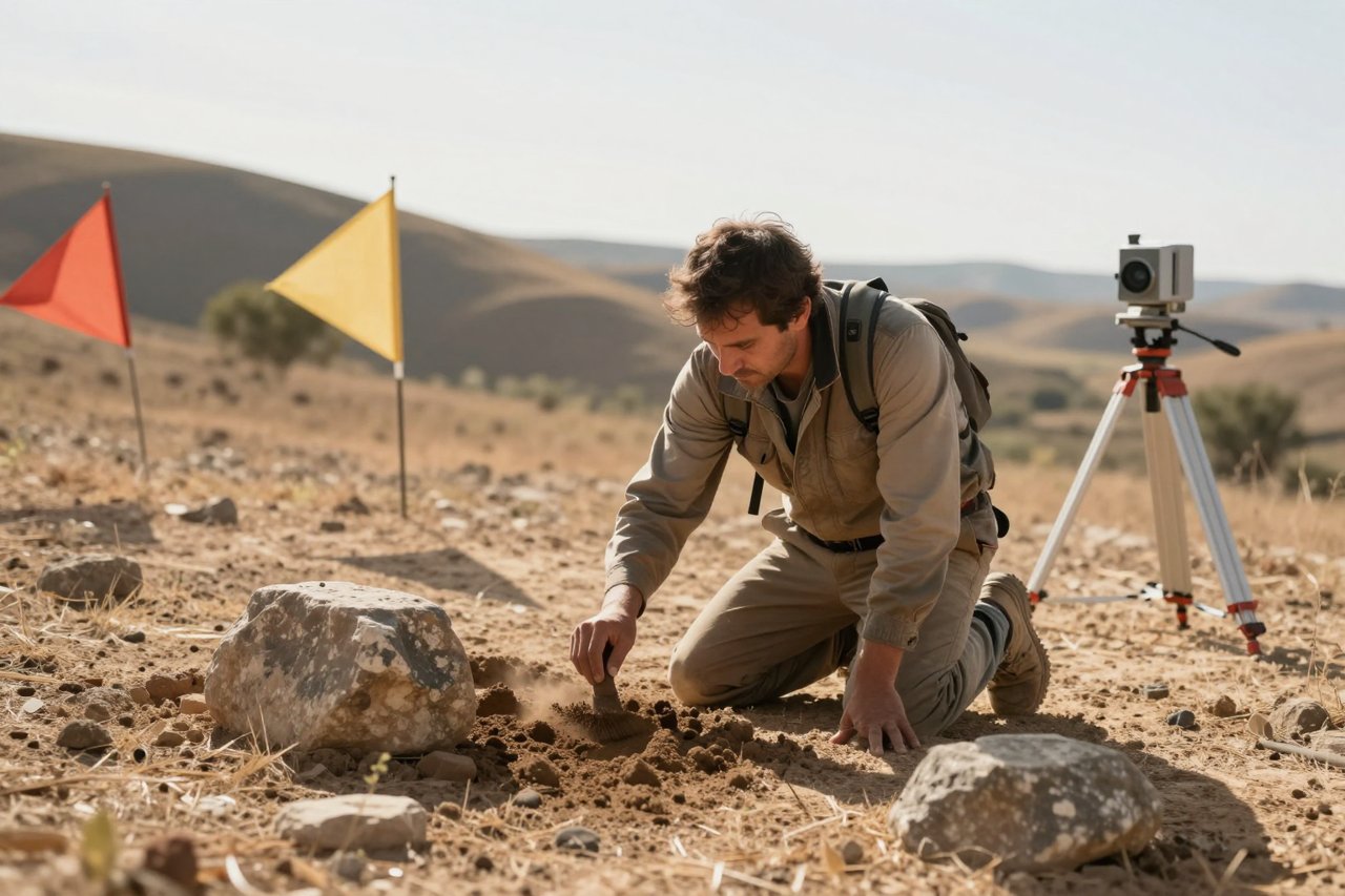
Before anyone digs, they walk. Pedestrian survey is the least glamorous method in archaeology and probably the most productive. Teams spread out in lines, often 10 to 20 metres apart, and cross a landscape on foot, recording every flint flake, tile fragment and burnt bone they spot on the surface.
Ploughed fields are goldmines. Each season the plough drags fresh material up from below, so a scatter of Roman pottery across a field in Essex can point to a villa nobody has ever mapped. Surveyors log find spots with GPS, note the density of material, then plot it all onto a map. A dense concentration surrounded by an empty halo often means a settlement, with the surrounding land manured with household rubbish.

Reading the soil instead of the objects
Some sites have no artefacts to give them away. Soil colour is the clue: dark, organic-rich patches mark ditches and pits that filled with decayed matter, and these show up clearly once a field has been harrowed. Phosphate analysis does something similar in the lab. Long-occupied animal enclosures and rubbish dumps leave chemical signatures in the ground that survive for centuries after the potsherds are gone.
Crop marks, where buried ditches draw themselves
Buried features change how plants grow. A ditch holds more moisture, so crops above it stay green for longer in dry weather. A buried wall or road drains poorly and stunts growth, so those plants yellow and die first. From the air, this produces geometric patterns in fields: circles, rectangles and long lines that appear for a few weeks and then vanish.
The drought summer of 2018 was a gift for aerial surveyors across Britain and Ireland, revealing dozens of previously unrecorded prehistoric enclosures, henge monuments and settlement boundaries. Many of these sites had been invisible for thousands of years. The same principle guided the identification of some of the megalithic landscapes explored in this look at ancient stone circles and why their builders dragged 25-tonne rocks across Britain, where the position of stones only makes sense once the surrounding earthworks are mapped.
Lasers that see through the trees
LiDAR (light detection and ranging) fires hundreds of thousands of laser pulses per second from a plane or drone. Most bounce off leaves and branches, but a percentage reach the ground and return, allowing software to strip away the vegetation and reveal the bare earth beneath. In dense jungle, this is close to magic.
In 2018, the PACUNAM survey mapped around 2,100 square kilometres of the Maya lowlands in northern Guatemala and identified more than 60,000 structures, including causeways, terraces, defensive walls and reservoirs. It overturned the old idea of scattered Maya villages and replaced it with dense, engineered cities. Similar surveys at Angkor and in the Bolivian Amazon have done the same trick, part of the wider wave of archaeological discoveries in the Americas that keep rewriting the story of the pre-Columbian world.
Satellites and Cold War spy photographs
Declassified CORONA imagery from the 1960s and 70s is still revealing sites that have since been bulldozed, flooded or built over. Archaeologists compare old photographs with modern satellite views to spot faint walls, ancient field systems and dried-up canals. Multispectral sensors add another layer, picking up differences in vegetation and mineral composition that the human eye cannot see.
In Saudi Arabia, satellite survey has catalogued more than a thousand mustatils, enormous stone rectangles up to 600 metres long built around 7,000 years ago. Nobody counted them properly until researchers worked through aerial imagery at scale. Some of the discoveries reshaping our understanding of deep prehistory, including those covered in these archaeological discoveries in Asia that keep rewriting the human story, began as faint shapes on a screen.
The people who already knew
Hiram Bingham gets the credit for Machu Picchu in 1911, but the farmer Melchor Arteaga led him there, and local families knew the ruins well. Agustín Lizárraga had scratched his name on a wall in 1902. This pattern is common. Shepherds, farmers, hunters and children regularly know about walls, caves and carved stones that outsiders have never recorded.
Good field projects build relationships before they break ground. Tea with a village elder has produced more site leads than many a research budget. Oral histories about abandoned settlements, sacred groves and old boundaries are increasingly treated as data rather than folklore, and they often point to remarkable sites that no queue will ever form for, like those in this collection of forgotten monuments around the world.
Following the paper trail
Plenty of finds begin in a library. Antiquarian travelogues, parish tithe maps, estate plans and Victorian county journals are full of casual mentions: a ruined chapel, a well that never dries, a field with a strange name. Field names are surprisingly useful. Names containing words like burh, chester or tumulus often describe something that was visible centuries ago.
Museum stores hold quieter evidence. Pottery labelled with nothing more than “found near the river, 1934” has led researchers back to unrecorded kilns and burial grounds. Aerial photographic archives, some holding millions of frames, are mined the same way.
Instruments that see below the turf
Geophysics lets archaeologists look underground without turning a sod. Magnetometry detects burnt features, hearths and filled ditches. Resistivity picks up stone walls and compacted floors. Ground-penetrating radar produces slices through the soil that reveal floors, graves and voids. A good survey can map an entire villa complex in a week.
Because it is fast and non-destructive, geophysics is routinely used ahead of construction. Thousands of sites, from Roman roads to Bronze Age barrows, have been found during housing developments, road upgrades and pipeline works. Developers pay for the survey, and the site is recorded before the concrete arrives.
- Fieldwalking: systematic surface collection, plotted by GPS.
- Aerial survey: crop marks, soil marks and shadow marks read from photos.
- LiDAR: laser mapping that strips away vegetation to show earthworks.
- Geophysics: magnetometry, resistivity and radar mapping buried features.
- Archives: maps, journals, museum records and old photographs.
- Environmental sampling: pollen, seeds, animal bone and soil chemistry.
Predicting where someone would want to live
Archaeologists increasingly use GIS modelling to narrow the search. Build a map with fresh water, defensible high ground, good soils and easy routes between them, and people will have made similar calculations for thousands of years. Multiplied across a region, this produces a heat map of likely settlement spots.
The method is not a guarantee, and it can be biased towards the places modern researchers value. It works best as a filter. Work through the top-ranked areas on foot, and the hit rate tends to be far better than wandering at random.
Weather, erosion and pure luck
Climate does a lot of the finding. Retreating glaciers in Norway and the Alps keep releasing hunting gear, arrows and textiles frozen for millennia; the Lendbreen ice patch yielded a 1,700-year-old tunic. Coastal storms strip dunes and expose settlements. Rivers change course and cut new banks through old occupation layers. Deep ploughing brings buried landscapes to the surface.
Amateur finders matter too. In England and Wales, the Portable Antiquities Scheme has recorded well over a million objects found by members of the public, many of them leading straight to new sites. Responsible reporting is what turns a lucky find into research.
Turning a find into a site
A scatter of stones is not yet a site. To prove one, archaeologists open small test pits first, checking whether the geophysical anomalies are real, then excavate a larger area if the results justify it. Stratigraphy, the layers of soil built up over time, tells them what came first. Radiocarbon dating, optically stimulated luminescence and pottery typology put the sequence on a timeline.
Modern projects also fly drones over open trenches each day to build 3D photogrammetric models, so the excavation can be re-examined long after it is backfilled. Some of the world’s oldest sites have been re-analysed this way decades after excavation, as with the 3.3-million-year-old tools and monuments like Göbekli Tepe that keep shifting the dates of early human behaviour.
What happens once a site is found
Discovery creates obligations. Sites get looted when their location leaks, so teams often delay publishing coordinates and work with local authorities on guards or fencing. In conflict zones, archaeologists have learned to document collections and archives in advance so that losses can be tracked later.
The most enduring protection, though, is local investment. When a site brings work, tourism income or a school project, it gets watched. That is why modern fieldwork budgets include community liaison alongside excavation costs, and why the papers that follow a big discovery increasingly list local co-authors. A site that only outsiders care about rarely survives the next drought, the next ploughing season or the next round of construction.


