
Table of Contents
In July 1415, a fleet carrying tens of thousands of soldiers and sailors crossed the strait from Portugal to the Moroccan port of Ceuta and took it in a single day. The prince who planned the assault was twenty-one years old, deeply pious, and fixated on what lay beyond the known map. History remembers him as Henry the Navigator, though he never captained a ship himself. What he did was fund voyage after voyage down the West African coast, and those voyages opened a door nobody managed to close again.
That door is what we now call the Age of Exploration: roughly two and a half centuries, from the early 1400s into the late 1600s, when European sailors pushed out into the Atlantic, rounded Africa, crossed the Pacific and finally sketched the coastlines of the entire planet. It was a stretch of genuine courage, spectacular cruelty, and consequences we are still living inside.
The Technology That Made Open-Ocean Sailing Possible
Medieval ships crawled along coastlines. Crews anchored at night because they had no reliable way to know where they were once land disappeared behind them. Crossing an ocean on purpose, and expecting to come back, required a cluster of inventions to arrive at roughly the same time.
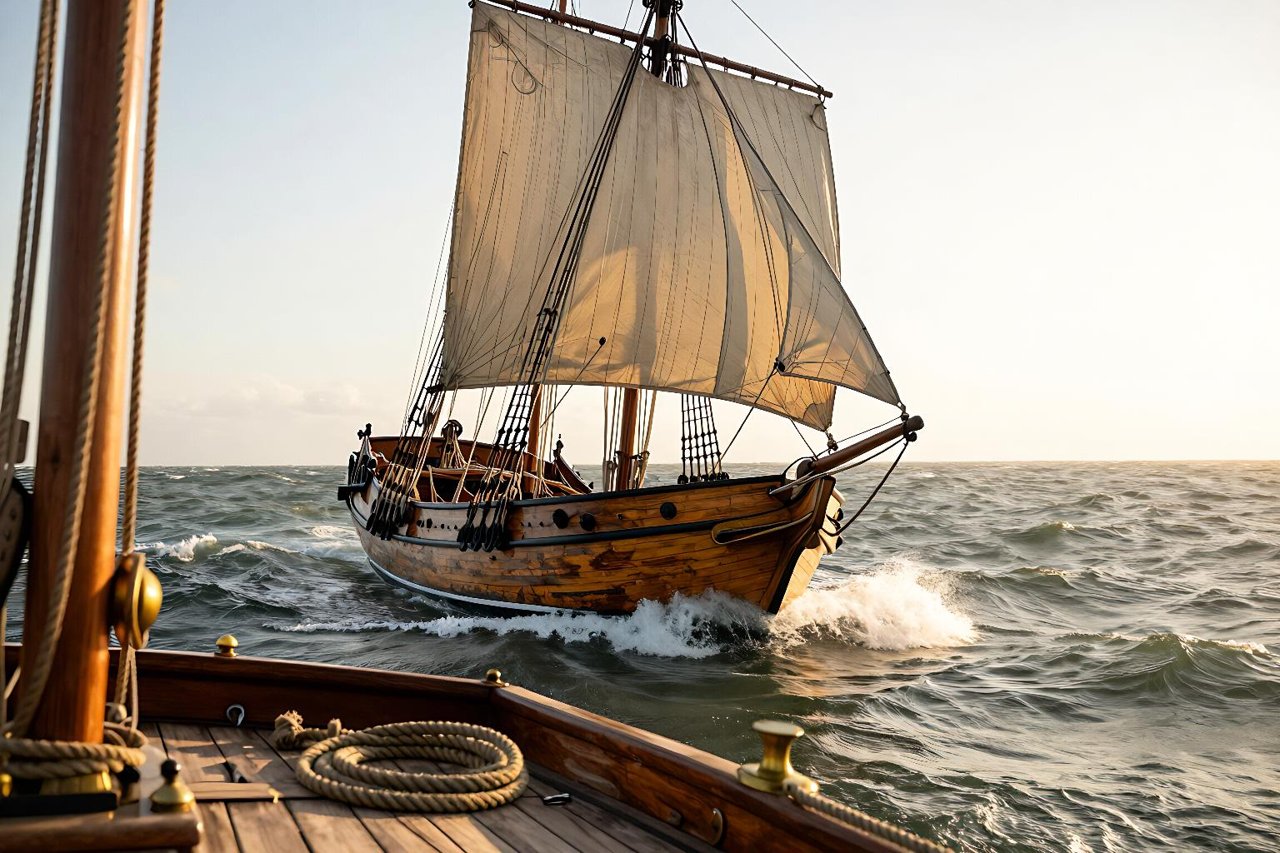
The caravel did much of the heavy lifting. Portuguese shipwrights developed a vessel of maybe fifty to sixty tons: shallow enough to nose into unfamiliar rivers, sturdy enough for Atlantic weather, and rigged with lateen sails that let it sail into the wind rather than wait for a friendly one. Columbus crossed the Atlantic in something close to this design, and he did it in thirty-six days from the Canaries.

- The magnetic compass, borrowed from Chinese practice via Arab traders, gave sailors a fixed direction on cloudy nights.
- The astrolabe and cross-staff let a navigator estimate latitude from the height of the sun or the Pole Star.
- Portolan charts plotted coastlines and, crucially, marked shoals and anchorages in a way older maps never bothered with.
- The sternpost rudder and improved hull caulking made long voyages survivable rather than merely possible.
None of it solved the biggest problem, which was food. Scurvy, bad water and spoiled provisions killed far more sailors than storms did.
Who Went Where, and in What Order
Portugal works its way south
Portuguese captains inched down the African coast for seventy years, setting up trading posts and learning the wind patterns that would later carry them across the Atlantic and back. Bartolomeu Dias was blown around the southern tip of the continent in 1488 and named it the Cape of Storms; the crown renamed it the Cape of Good Hope for morale. A decade later, Vasco da Gama took four ships and about 170 men to Calicut on the Indian coast. Fewer than sixty came home.
Spain gambles on a wrong number
Columbus underestimated the circumference of the Earth and talked Castile into funding the mistake. He landed in the Bahamas on 12 October 1492 convinced he had reached Asia. The 1494 Treaty of Tordesillas then split the non-European world down a line in the Atlantic between Spain and Portugal, a piece of paperwork that shaped the languages of two continents.
Ferdinand Magellan set out in 1519 with five ships and around 270 men, found the strait at the bottom of South America, and was killed in a skirmish in the Philippines. Juan Sebastián Elcano brought the Victoria home in September 1522 with eighteen survivors. They had circled the globe and proved, in the most expensive way imaginable, how big it really was.
The Dutch, English and French arrive late and take notes
John Cabot reached Newfoundland in 1497 for England. Jacques Cartier sailed up the St. Lawrence in 1534 for France. The Dutch founded the VOC in 1602 and turned Jakarta into a commercial capital, while Abel Tasman charted Tasmania and New Zealand in 1642 without ever realising they were separate from anything else. Long before any of them, Norse sailors had reached Newfoundland around the year 1000, a story that tends to get flattened into horned-helmet clichés but deserves better.
Following the Money: Spices, Silver and Silk
The romance of discovery sells books. Pepper paid for the ships. Spices, silk, porcelain and dye had moved along Asian trade routes for centuries, passing through dozens of middlemen before reaching a European kitchen, and each one added a mark-up. A sea route to the source promised to cut out everyone in between.
What the Europeans found when they arrived was not an empty stage. Calicut, Malacca and Canton were wealthy, sophisticated ports with their own laws, currencies and diplomatic traditions, sitting at the centre of long-established networks. The newcomers were, in commercial terms, the provincial ones. Silver from Potosí and Zacatecas eventually greased that trade, flowing into China in enormous quantities through the Manila galleons.
The Bill Nobody Put on the Posters
Exploration was not a school trip. Alongside the charts and the journals came conquest, forced labour and disease. Hernán Cortés dismantled the Aztec state between 1519 and 1521; Francisco Pizarro did the same to the Inca in 1532. Both campaigns relied heavily on indigenous allies who had their own reasons for resenting imperial rule, a detail that complicates the lone-hero version of events.
The Columbian Exchange cut both ways
Potatoes, maize, tomatoes and chillies crossed east. Wheat, horses, cattle, rats and smallpox crossed west. Smallpox reached Hispaniola around 1518 and reached Mexico in 1520, arriving on a ship from Cuba and running ahead of the Spanish army. Populations in the Americas collapsed by estimates ranging from seventy to ninety per cent over the following century, mostly from disease rather than combat. The transatlantic slave trade, which would forcibly move some twelve million Africans, grew directly out of the plantation economies that replaced indigenous labour.
What the Sea Still Holds
Much of this history physically survives, just not on land. The Batavia broke apart on a reef off Western Australia in 1629 with a cargo of silver and a mutiny that turned into a massacre. The Spanish treasure fleet ship Atocha went down off the Florida Keys in 1622 and was found in 1985 with bars of silver still stacked in the sand. The San José, carrying a fortune in gold and emeralds, lay off Cartagena for three centuries before anyone located it. These wrecks are archives as much as treasure, and the excavation techniques used on them have rewritten what we know about shipboard life. For anyone curious about how that work actually happens, the story of what the sea keeps of ancient shipwrecks and their cargoes is worth an hour of your evening.
Reading the Era Without the Romance Filter
Popular retellings still tend to cast this period as a parade of geniuses in ruffs. The better versions show the paperwork, the malnutrition, the failed expeditions, the men who turned back, and the people already living in the places being “discovered”. Good history television has gotten noticeably better at this. The best history documentaries on streaming now lean on archaeology and primary sources rather than dramatic narration, and they are a decent place to start if you want the era told with the rough edges left on.
The Frontier Didn’t Close
James Cook’s voyages in the 1770s finished the mapping job, filling in Australia, New Zealand, Hawaii and the edges of Antarctica. After that, the blank spaces on the charts were gone. The instinct behind those blank spaces was not. It simply pointed upward and outward, from the International Geophysical Year of 1957 to the rovers working their way across Mars today. The same mix of state funding, commercial ambition, technical improvisation and uncomfortable ethical questions travels with every mission. If the caravel paved the way for the galleon, the sounding rocket paved the way for everything now in orbit, and the pattern of how space exploration is transforming our future looks remarkably familiar to anyone who has read a 16th-century voyage log.
What separates the two eras is what we do with the knowledge. Sixteenth-century sailors came back with maps, specimens and cargo, and the powers that sent them generally used all three to take what they wanted. We have better records now, better instruments and a far wider audience for the results. Whether that makes us wiser is a live question, and the age of exploration is a useful place to go looking for an answer.


