
Table of Contents
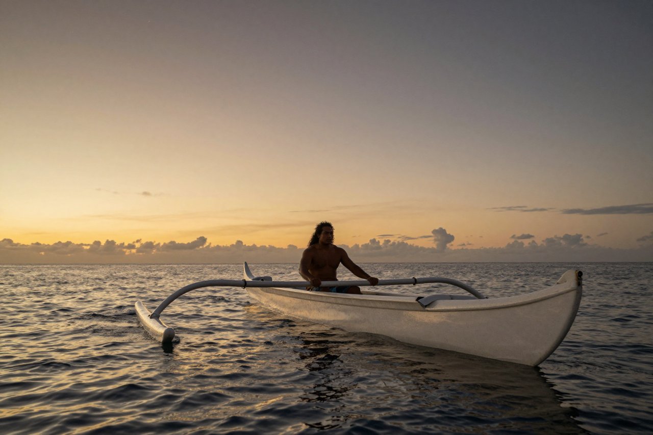
A double-hulled canoe slips off a coral beach at dusk. No compass. No chart. No clock. The navigator sits cross-legged on the deck, feels the hull lift under a swell he recognises from a hundred nights at sea, and names a star coming up off the port bow. Six weeks and 2,500 miles later, he finds an island the size of a small town in an ocean that covers a third of the planet.
When European explorers reached the Pacific in the 1700s, they were genuinely unsettled by this. Tahitian and Caroline Islanders could point a canoe at a speck of land beyond the horizon and hit it, while the visitors were still arguing about longitude. How ancient people navigated the oceans isn’t a story about one clever trick. It’s thousands of years of patient observation, memorised and handed down out loud, from navigator to apprentice, over open water.
The Sky Was a Road Map With Names
Pacific navigators didn’t steer by single stars. They used starlines: sequences of stars that rise or set at roughly the same point on the horizon. As one star climbed too high to be useful, or sank into the haze, the next in the same line took over. A voyage became a relay of stars, each handing off to the next through the night.
The Caroline Islands tradition, taught by master navigators like Mau Piailug, organises the horizon into a star compass of 32 named “houses.” Each house is a specific rising or setting point, and each has a name, a direction, and an associated island, reef or swell. Sailing east, you pick the star house that matches your course and keep the canoe’s outrigger or a stay lined up with it. Nothing touches water but the hull. The whole instrument is memory.

Latitude was just as physical. In the northern hemisphere, the height of Polaris above the horizon tells you how far north you are, and it barely moves through the night. Navigators learned to gauge that angle with a raised hand, a palm, a finger width. South of the equator, where Polaris vanishes, they switched to the Southern Cross and its two bright pointers, plus the hazy patches of the Magellanic Clouds.
The Swell Was a Signpost You Could Feel Through the Hull
Stars disappear under cloud. Swells don’t. Every ocean has a dominant ground swell generated by distant storms, and experienced navigators could identify the main swell direction, plus a secondary one, and hold a heading relative to them even on a moonless, overcast night.
Islands interrupt that rhythm. A swell bends around land, splits, reflects, and creates interference patterns that radiate outward for 20 or 30 miles. Sitting low in the canoe with one hand on the hull, a navigator could feel the change: a steeper chop, a cross-pattern, a dead patch where the water goes strangely smooth. That meant land was out there, in that direction.
Stick charts were teaching tools, not maps
Marshallese navigators made mattang and meddo charts from pandanus root strips tied together with cowrie shells. The shells mark islands. The curved sticks mark swell patterns and how they bend around those islands. Crucially, these weren’t carried on voyages. They were study aids, used on land to teach a student the shape of an ocean he’d eventually have to hold entirely in his head.
Birds, Clouds and Other Living Signposts
Land announces itself long before you see it. Navigators built a whole second layer of signs on top of the stars and swells:
- Birds. Frigatebirds and boobies range 30 to 50 miles from land and return to roost at dusk. Follow a flock home in the evening and you find an island. Release a bird at dawn and watch which way it flies.
- Clouds. A single cumulus sitting over a low atoll at dusk gives it away. So does a faint green tint in the underside of cloud, reflecting sunlight off a shallow lagoon.
- Ocean colour and debris. Fresh leaves, coconuts and driftwood mean a source upstream. A change in water temperature or a sudden current can do the same.
- Smell. Volcanic islands and dense vegetation carry downwind. Several European captains in the Pacific noted islanders smelling land before it was sighted.
- Light. In the Temotu Province of the Solomon Islands, navigators describe te lapa, flashes of light in the water that streak toward land from as far as 100 miles. Researchers still argue about the mechanism.
The Monsoon Was a Timetable
In the Indian Ocean, the calendar itself dictated navigation. The southwest monsoon blows from roughly June to September, the northeast monsoon from November to March. Sailors learned to ride one and wait for the other, which turned the Arabian Sea and Bay of Bengal into a scheduled ferry service two thousand years before any European did it.
Greek and Roman writers credited a captain named Hippalus with working out the direct crossing from the Red Sea to India in the first century BC, using the monsoon instead of hugging the coast. Indian Ocean dhows carried lateen sails, triangular and pivoting, which could be trimmed to sail far closer to the wind than square rigs and could be handled by a small crew.
Arab navigators sharpened the toolkit further. The kamal, a small wooden tablet on a knotted cord, measured the altitude of Polaris against the horizon with fingertip accuracy and gave a reliable latitude. By the 1400s, pilots were working from written sailing directions, the Kitab al-Fawa’id, listing rhumbs, star altitudes and hazard notes for routes from the Red Sea to China.
Northern Sailors Went Sideways Instead
Vikings solved a different problem. In the North Atlantic, the sky is often useless, so they leaned on latitude sailing: keep at a fixed northern latitude and eventually you hit the right coast. Norse sailors in Greenland left behind a fragment of a wooden sun-compass dial, found at Uunartoq in 1948, and sagas describe a sunstone that could locate the sun through cloud or light snow. Scientists have tested Icelandic spar, a calcite that splits light into two beams, and shown it really can find the sun’s position in an overcast sky.
They also carried birds. Flóki Vilgerðarson, one of the first Norse settlers in Iceland, released ravens to find land, and the technique shows up again on the Greenland-to-Newfoundland run, roughly 1,600 miles of open water.
Instruments Replaced Memory, Then Borrowed From It
Chinese sailors were steering by magnetised needles by the eleventh century, with Shen Kuo describing a needle rubbed against lodestone in 1088. The idea reached Europe within a century or so, and the compass, cross-staff, quadrant and astrolabe slowly took over the job of the navigator’s memory.
But the new tools leaned on old habits. Dead reckoning, the practice of tracking your position from known speed and heading, only works if you have speed. Sailors measured it by throwing a log over the side on a knotted line and counting knots against a 28-second sandglass. The result went onto a traverse board, a wooden pegboard that was, in effect, a mechanical memory of the voyage. The word “knots” survived the log line by about three hundred years.
The Knowledge Is Still Afloat
None of this died cleanly. Mau Piailug, born on Satawal in the Caroline Islands, learned wayfinding the traditional way from his grandfather and could navigate by stars on a voyage he could not read about in any book. In 1976, he steered the Hawaiian double-hulled canoe Hōkūleʻa from Maui to Tahiti, 2,500 miles, without instruments, deliberately refusing GPS or compass help. His student Nainoa Thompson went on to navigate the same route himself.
Since then, the revival has gone wider. Voyaging societies across Aotearoa, Tahiti, Samoa, Fiji and Tonga have rebuilt canoes and retrained navigators. In 2023, a fleet of traditional canoes left Alaska on Moananuiākea, a four-year circumnavigation of the Pacific using the same star compasses and swell-reading methods that were in use when Captain Cook arrived. On a clear night, standing on deck with a navigator reciting star house names in an unbroken line going back centuries, it stops looking like a historical curiosity and starts looking like what it was: a science, practised by people who simply never wrote it down.


